I used the ‘Report’ function of TNG to produce two listings:
- Places where Wakefield family members had been born
- Places where Lytollis & Ward family members had been born
These listings contained the longitude & latitude readings to place their location on a map. Once this data is put into Google Fusion Tables it works out the necessary data and produces the code. The code is inserted into the web page and voila! – a map with red dots…
Each red dot only shows a single place where multiple family members were born – in other words, if 20 people were born in Kingstown it will only show one instance of a red dot for that location.
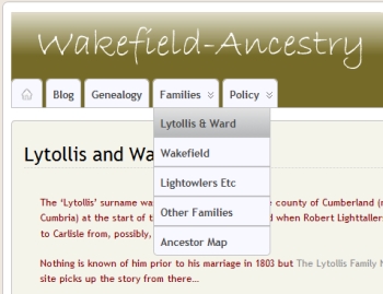
To see the maps select the ‘Families‘ menu tab and then go to either ‘Lytollis & Ward‘ or ‘Wakefield‘ sub-menus.

